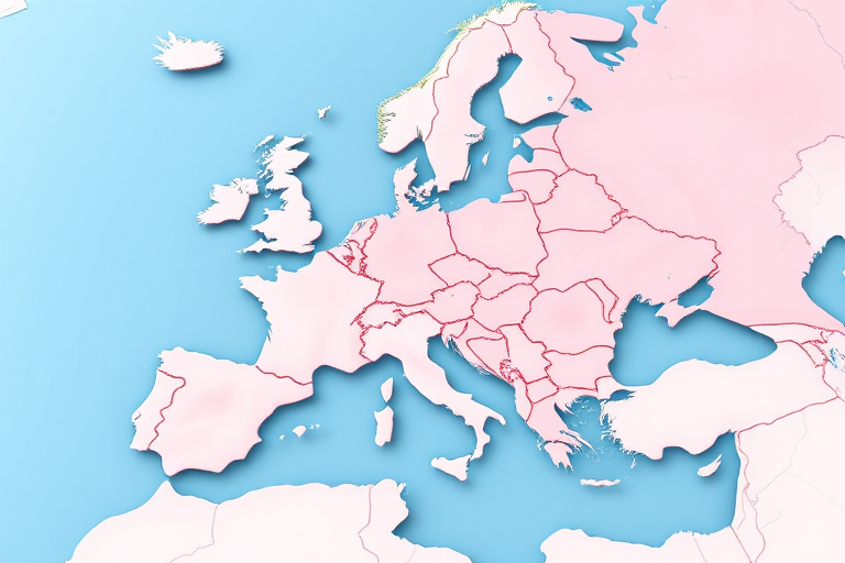
Generate a high-resolution 3D vector map of Europe with highlighted regions in soft pink tones, using a wide-angle lens, f/8 aperture, and ISO 100, captured with a digital camera at a 45-degree top-down angle.
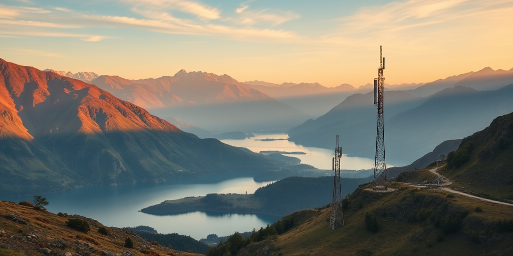
Landscape of a mountainous region with a lake below, featuring a telecommunications tower, golden hour lighting, shot with a Canon EOS 5D Mark IV, 24mm lens, aperture f/8, shutter speed 1/125s, ISO 100, wide-angle view.
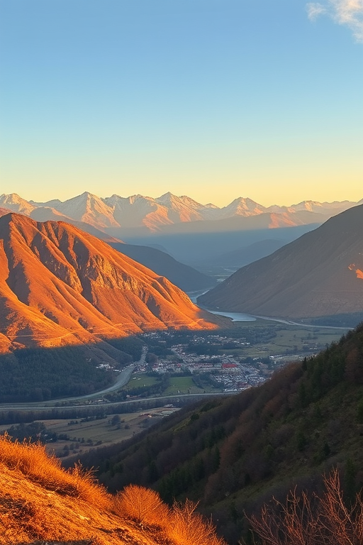
regenerate a high-resolution landscape image capturing a panoramic view of a mountainous region with a small village nestled in the valley, focus on golden hour lighting, using a DSLR camera with a 24mm lens, aperture set to f/8, ISO 100, and shutter speed of 1/125 sec, emphasizing rich colors and clarity
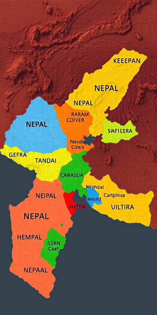
Create a high-resolution map of Nepal with distinct, vibrant colors for each region, using a wide-angle lens at f/8, ISO 100, and a digital camera set to a landscape mode for enhanced clarity and detail.
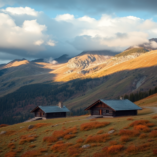
Create a high-resolution landscape image of a mountainous region during autumn, featuring rustic wooden cabins on a grassy slope under a cloudy sky, shot with a Canon EOS 5D Mark IV, 24mm lens, f/8 aperture, ISO 100, and a soft diffused lighting effect to enhance details and colors.
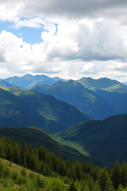
high-resolution landscape of a mountainous region under a partly cloudy sky, featuring lush green forests and rolling hills in the foreground, captured with a DSLR camera at 35mm focal length, aperture f/8, ISO 100, with a wide-angle view and natural lighting
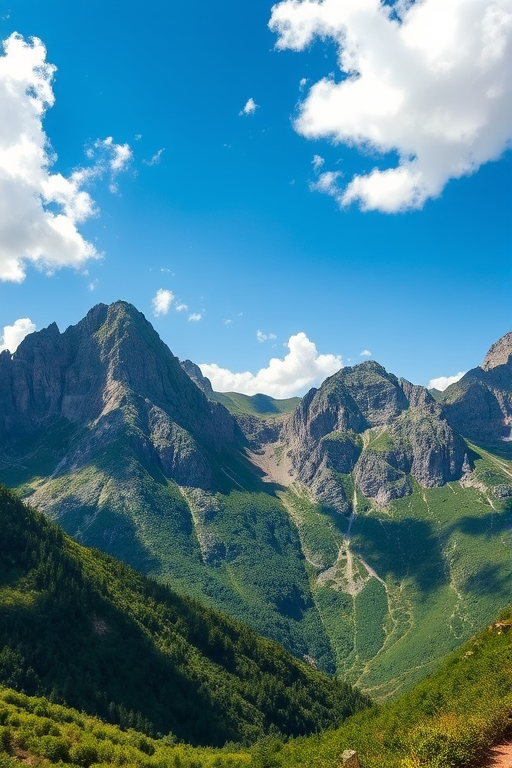
Generate a stunning landscape image of a mountainous region under a clear blue sky with fluffy clouds, capturing the details of rocky peaks and lush greenery, using a DSLR camera with settings: ISO 100, aperture f/8, shutter speed 1/500s, focal length 24mm, shot from a wide-angle perspective.
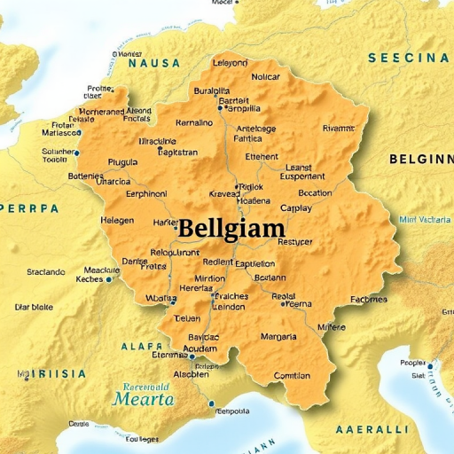
Create a detailed map of Belgium with clear borders and labeled regions, using a high-resolution camera with a focal length of 50mm, aperture set to f/8, shot from an aerial view, styled as a digital illustration.
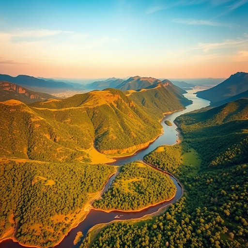
Generate a high-resolution aerial landscape image of a lush green mountainous region with a meandering river and scattered islands, captured with a drone using a wide-angle lens at 24mm, f/8 aperture, ISO 100, shutter speed 1/250s, during golden hour lighting for enhanced vibrancy and detail.
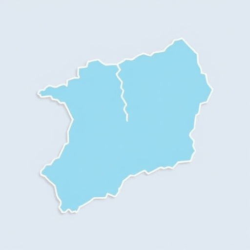
Create a detailed vector illustration of a map outline featuring two distinct regions in light blue with white borders, using a 50mm lens, f/11 aperture, ISO 100, captured from a top-down view with a DSLR camera for enhanced clarity and sharpness.
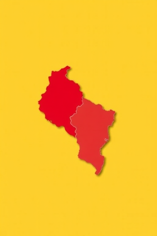
Create a high-resolution image of a stylized political map of El Salvador highlighting a specific region in red against a yellow background, taken with a DSLR camera at a focal length of 50mm, aperture f/8, ISO 100, using a top-down view to enhance clarity and detail.
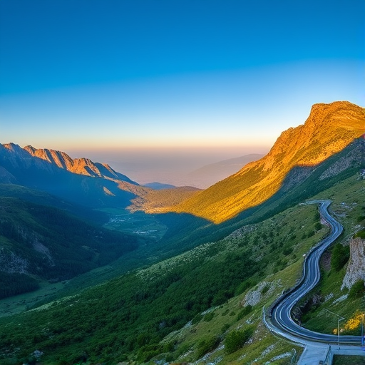
capture a panoramic landscape of a mountainous region with lush green valleys and a winding road under a clear blue sky, use a Canon EOS R5 with a 24-70mm f/2.8 lens, aperture f/8, ISO 100, shutter speed 1/125 sec, golden hour lighting for enhanced contrast and warm tones, shot from a high vantage point to showcase depth and perspective.
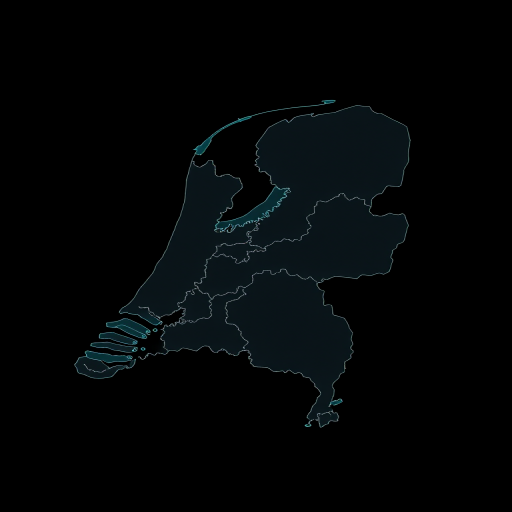
Create a high-resolution vector map of the Netherlands with clear outlines of regions, using a flat design style, captured in a 50mm lens equivalent perspective, with a shallow depth of field and vibrant teal color on a black background.
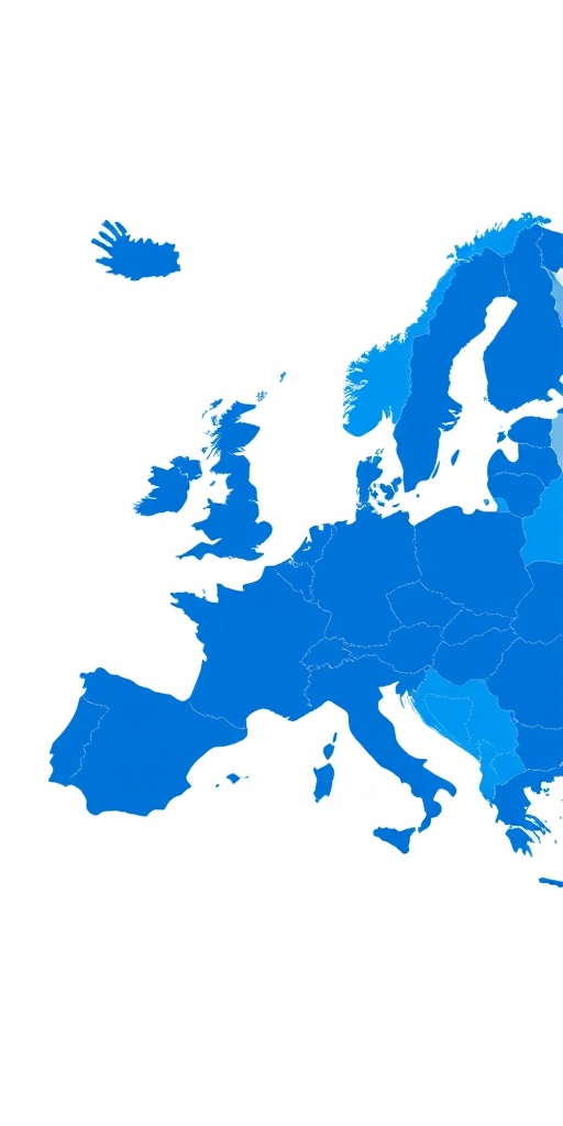
Generate a high-resolution map of Europe with distinct blue regions, captured with a DSLR camera at 50mm focal length, f/8 aperture, ISO 100, top-down view, and a clean, minimalist background.
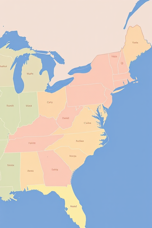
Create a high-resolution vector map of the southeastern United States with distinct regions in pastel colors and clear borders, using a top-down perspective, 50mm lens, f/11 aperture, ISO 100, and ensure a clean, crisp finish suitable for printing.
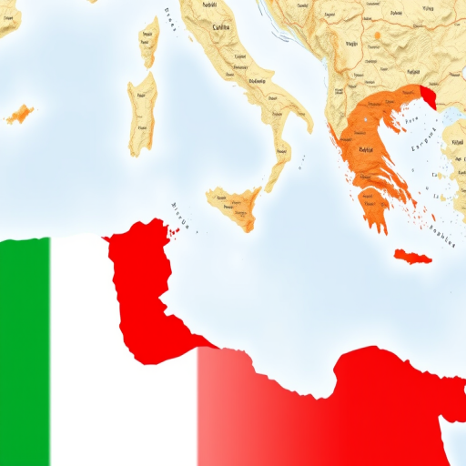
Generate a high-resolution map of Italy highlighting the eastern coast region in red, shot with a DSLR camera at f/8 aperture, 50mm lens, ISO 100, in landscape orientation, using a clean, minimalist style for clarity and emphasis on geographic features.